Luwawa
environmental protection zone
(lepz)
An overview
The culmination of many years of environmental activation within the Perekezi and South Viphya Forest Reserves finally came to fruition on 17th December, 2018 when The Luwawa Environmental Trust was granted the specific guardianship of 137 hectares of Forestry Department land now known as the LEPZ. The area is a mix of habitats including indigenous woodland, commercial forest, reed beds and wetlands associated with the two streams (Hunga and Luviri) which feed the Luwawa Dam. The Luwawa Environmental Protection Zone was formed and is one of the first of its type in Malawi. The LEPZ is home to many micro habitats and part of LET’s role is to conserve, protect and restore these habitats that have been gradually degrading or disappearing as a result of growing rural population, deforestation, land clearing and a general lack of environmental awareness.

Map showing details of part of the 137 hectares of the Luwawa Environmental Protection Zone (LEPZ)
Our future goals
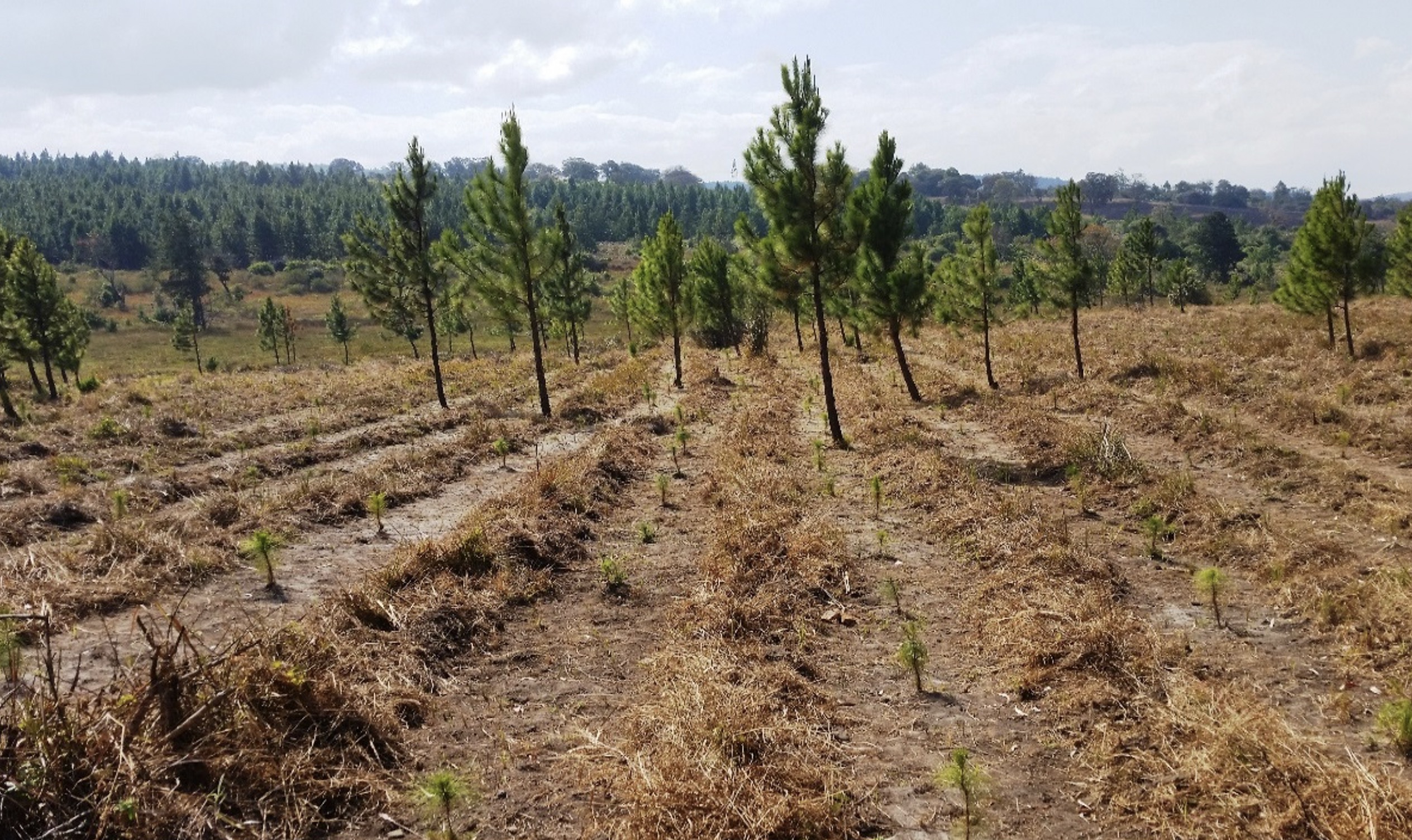
The aim of the LEPZ, in the long term, is to plant and nurture a healthy mix of indigenous woodland and to create a balance with existing commercially grown pine and blue gum. There is recognition that survival of indigenous species of hardwoods, fruit and exotics will require the support of sustainably managed commercial timber harvesting. Under LET’s guardianship, it is hoped that the diversity and acreage of indigenous forest will increase and that, in turn, will provide protected habitats for species of plants, and respective wildlife, to be enjoyed by Malawians and tourists alike.
In terms of the LEPZ specifically, LET has created an indigenous tree out-growers scheme to collect local indigenous seeds and nurture them into seedlings. LET provides the growers with small grow bags and then purchases the seedlings from the growers when they reach one to two years old to replant as part of the indigenous reforestation programme.
Through the hard work of those associated with the Luwawa Environmental Trust it will be an area well protected from wild-fires, poaching, the illegal cutting of trees and through careful environmental management of the dam, its wetlands and two main water courses improve the water quality of Luwawa dam.
Luwawa Dam, Wetlands & Marsh
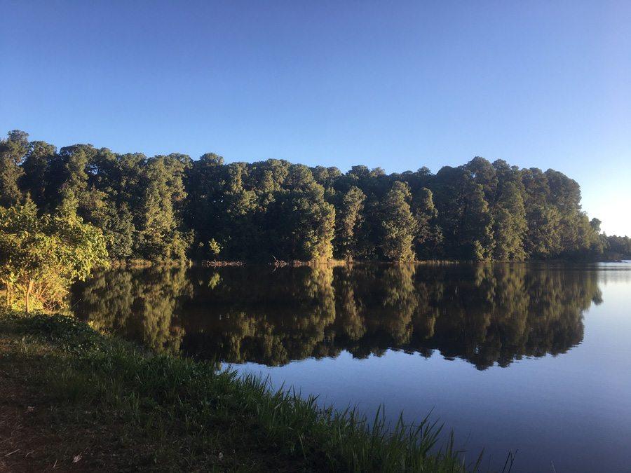
The Luwawa Dam is an 8.76 hectare body of fresh water sited at 1,600 meters above sea level and was built in the 1950’s to support the planting of the pine Forest. It was originally stocked with wide-mouthed bream and red-breasted bream as this species is ideally suited to this type of environment.
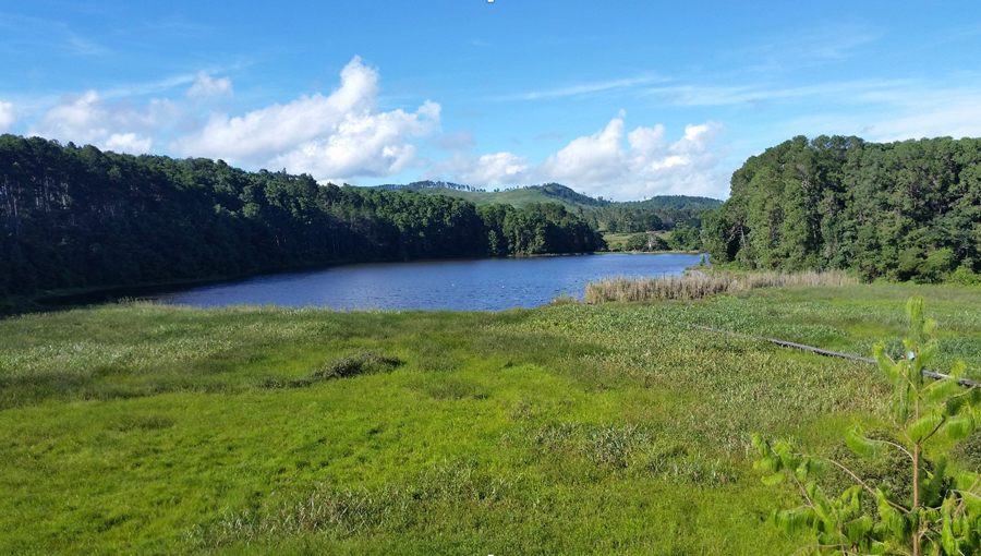
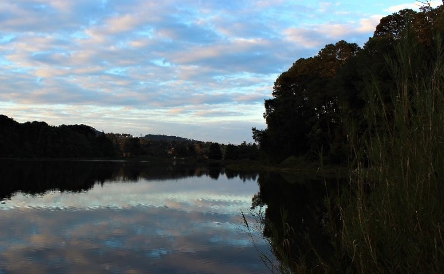
The Dam is flanked to the left and right by beautiful mature mixed species woodland and is fed by two streams, namely Hunga Stream from the South West and Luviri Stream from the South East. At the junction of these two feeder streams is a large wetland area that is home to a variety of birds, fish, snakes, frogs, toads and small mammals. This is a particularly sensitive biodiversity area that needs special protection.
The Dam area itself is a truly beautiful and tranquil space and will be the focus for the Luwawa Centre for Environmental Education (LCEE) as it encapsulates the landscapes that form part of the LEPZ.
What does the trust do in the lepz?
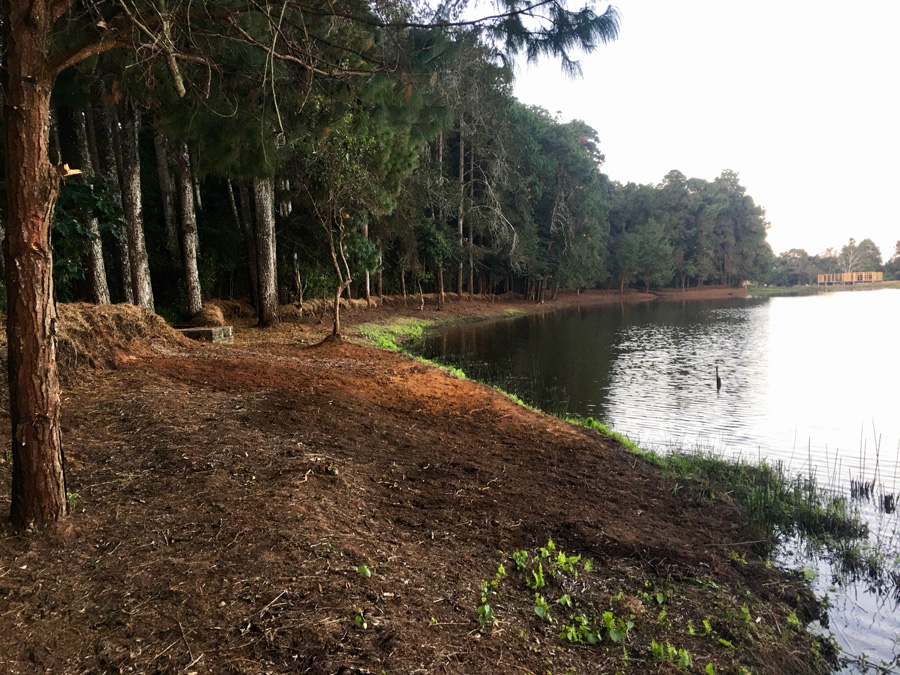
As a consequence of deforestation on the upper banks, weed colonisation has actually led to the surface area of the Dam to shrink. The increased run-off into the dam has resulted in higher levels of siltation which has led to weeds taking root. Run-off these days may also contain higher levels of fertilizers, pesticides, heavy metals, persistent organic pollutants all of which affect the water quality of the Dam. LET is in the process of cutting in a dedicated pathway around the dam and in doing so has created a holding “hedge” to help reduce the speed of run-off. During this process overgrown grasses and alien plant species growing around the dam and wetland areas are being removed. This route will form part of the LCEE primary education walk and indigenous trees and vegetation along the banks of the dam are also being re-planted.
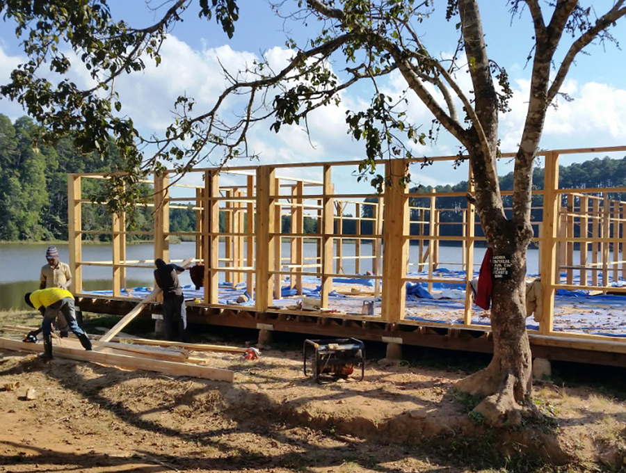
Although responsible line fishing is now permitted on the Dam, fish stocks have been decimated by village children using mosquito nets to fish from the banks of the Dam, the favoured spawning areas of the bream. This “catch-all” approach has meant that the fish were not given the opportunity to grow and spawn sustainably. Again, by having a physical presence in the area, this practice has all but stopped. Already fish sizes and numbers are increasing. LET will be raising funds to restock by the end of 2020 in accordance with technical advice from the Department of Fisheries.
The flow of freshwater is very important for the efficient functioning of the existing wetland and reed bed’s micro habitats and ecosystems. LET has politely requested that digging for worms with which the local people fish, is restricted to specific areas insisting that bird nesting sites are out of bounds. The digging for worms not only disrupts water flow but also effects bank stabilisation and increases sediment released into the dam thus leading to the general degradation of the area and water quality.
To enable visitors to experience these areas is a balancing act between presentation and preservation. The pathway under construction around the dam and wetland will lead visitors through less sensitive areas, but equally beautiful, ensuring nesting and breeding sites are left in peace.

